How Better Site Planning Reduces Flood Risk in Residential Development in Arlington, VA
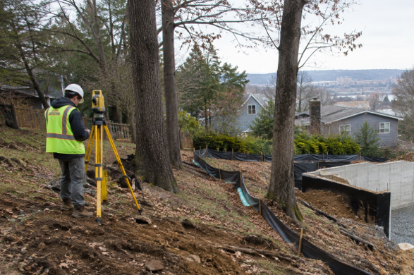
Residential development in Arlington, Virginia, has to work within a dense, built environment where slopes, compact lots, mature trees, aging drainage infrastructure, and downhill neighbors can all affect how water moves. Working with a qualified land surveyor in Arlington, VA, early in the process gives owners and builders a clearer picture of the property before making decisions about building placement, driveway design, or excavation.
Good site planning is not simply a matter of fitting a home onto a lot. It integrates the home’s finished elevation, grading, drainage, utility routes, access, tree preservation, and construction sequence into a single practical plan. When these details are addressed before equipment arrives, a project is better positioned to avoid standing water, erosion, foundation moisture, and avoidable redesigns.
Why Site Planning Matters Before Construction
A site plan is more than a drawing of a house, driveway, and yard. It should show how the land functions before, during, and after construction. A home placed too low, for example, may create runoff problems that extend from the foundation to the driveway, side yard, and adjacent property. Adjusting a building location or finished floor elevation on paper is usually far easier than correcting drainage after concrete, walls, and landscaping are complete.
In Arlington, water should be treated as an early design factor. Rainfall moves across roofs, pavement, lawns, slopes, and low points, then toward inlets, swales, streets, or neighboring land. The goal is to establish predictable paths that keep water away from buildings and prevent runoff from concentrating where it can cause damage.
Common Site Risks in Arlington
Many residential projects face constraints that are easy to overlook during an initial walkthrough. Low areas can pond after storms. Steep grades can increase runoff velocity and soil loss. Small lots may leave limited space for construction access, stormwater features, utility trenches, and tree protection.
Other concerns include buried utilities, old retaining walls, prior fill, drainage routes that cross property lines, and large trees with broad root systems. Floodplain conditions also require early attention. Arlington County notes that development within designated flood zones or required flood buffer areas may require a floodplain development permit, so reviewing floodplain maps and development requirements before finalizing the layout can prevent major changes later.
See also: Lifeguard Gear Essentials: What You Need for the New Lifeguarding Season
Start With Surveys and Soil Information
Accurate information should come before the final design. A detailed survey can identify property lines, easements, contours, existing structures, visible drainage features, major trees, and evidence of utilities. That information helps the project team understand what space is actually available and where a proposed improvement may conflict with existing conditions.
Soil and subsurface information can be equally important. Testing may reveal shallow rock, fill material, wet soils, or conditions that limit infiltration. Not every small project requires the same level of investigation, but skipping a needed survey or soil review can lead to costly field changes. The appropriate scope depends on the lot, proposed disturbance, and local review requirements.
Use Grading and Drainage to Guide Water
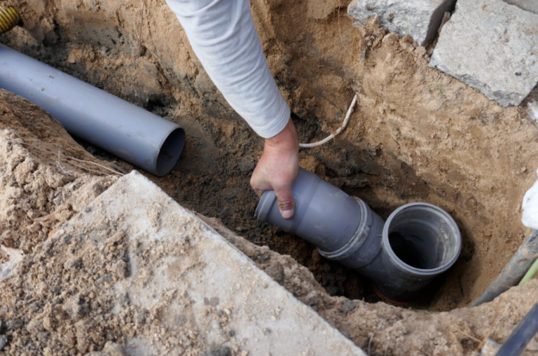
Grading is the planned shaping of the land. Positive drainage means finished surfaces slope away from a structure so runoff does not collect at the foundation. Depending on the lot, a grading plan may use shallow swales, surface slopes, inlets, channels, retaining walls, or underground pipes to direct water safely.
Driveways and walkways deserve particular care because they can become runoff channels when their slopes are poorly coordinated. Improper grading may create puddles, icy areas, landscape washout, soil erosion, or moisture problems near lower-level spaces. The plan should address both the finished and temporary conditions while the lot is exposed during construction.
Plan Stormwater Controls Early
Roofs, patios, driveways, and other hard surfaces can change how quickly rainwater leaves a property. Stormwater planning should begin before the building footprint and paved areas are fixed. A solution may include a planted rain garden, infiltration area, detention feature, permeable surface, or vegetated swale, but the right approach depends on soil conditions, grades, maintenance access, and the surrounding drainage system.
Each control has a different job. Some slow runoff, some temporarily store it, some filter pollutants, and some allow water to soak into the ground. Virginia’s construction stormwater program explains that unmanaged runoff can contribute to erosion, flooding, and pollution, reinforcing why controls must be selected as part of the full site design rather than added at the end.
Limit Erosion During Construction
Bare soil is especially vulnerable during excavation and grading. Rain can carry sediment into streets, storm drains, nearby yards, and local waterways. Effective erosion and sediment control usually involves staged clearing, stabilized construction entrances, inlet protection, perimeter barriers, temporary seeding, and quick repair of damaged controls.
Builder Checklist for Exposed Soils
- Keep disturbed areas as small as practical.
- Stabilize or cover exposed soil before forecasted rainfall.
- Protect nearby storm drain inlets and drainage paths.
- Maintain the construction entrance to reduce track-out onto streets.
- Inspect controls routinely and repair failures promptly.
Protect Trees and Natural Features
Mature trees can provide shade, support outdoor comfort, and help intercept rainfall. Their roots, however, may extend far beyond the trunk. Heavy equipment, stockpiled soil, trenching, and grade changes can damage root zones even when the trunk remains untouched. Tree-protection fencing, defined clearing limits, and careful utility placement help preserve trees intended to remain.
Natural low areas, wooded edges, and established drainage paths may also inform the design. Preserving useful site features can reduce disturbance and make the final drainage strategy more practical.
Coordinate Utilities, Access, and Safety
Drainage cannot be designed in isolation. Water and sewer lines, electrical service, sidewalks, driveways, waste collection, fire access, and construction staging must all fit on the same plan. Moving a utility line may affect tree roots, force deeper excavation, alter proposed grades, or consume space intended for stormwater storage.
Early coordination also helps address driveway grade, vehicle turning, sight distance, and emergency access. On a constrained Arlington lot, a layout that works on paper can become difficult to build if equipment cannot reach the work area without crossing protected soil or tree zones.
Prepare for Permits and Reviews
Permit needs vary with the site, project scope, land disturbance, floodplain conditions, and proposed stormwater work. Owners and project teams should review zoning, easements, utility requirements, erosion controls, and applicable stormwater standards before committing to a final design. Incomplete drawings and uncoordinated calculations often result in review comments that delay construction.
Keep survey data, design revisions, inspection records, calculations, and field changes organized. When site conditions differ from the original assumptions, the team should evaluate the change before proceeding rather than relying on an informal field adjustment.
Conclusion
Safer residential development in Arlington begins with a clear understanding of the land. Surveys, soil information, grading, drainage, stormwater controls, tree protection, utilities, and permits should function as one coordinated system. A plan that respects existing conditions, limits unnecessary disturbance, and accounts for long-term maintenance can reduce flood risk while creating a more durable property for years to come.